


Following the 2020 Census and the delays caused by COVID, L2 was the first data provider to make both. Here’s a tighter, more polished 2026-ready version with a bit more urgency and clarity:
Following the 2020 Census and the delays caused by COVID, L2 was the first data provider to deliver both proposed and finalized district boundaries at scale.
With over 50 years of experience, a dedicated acquisitions team, and deep relationships across all 50 states, L2 continues to be the most trusted source for navigating both expected and unexpected district changes in the 2026 cycle.
Contact us to learn more or explore the latest proposed districts directly in L2 DataMapping.
A Look at the L2 Redistricting Process
1. Monitor & Acquire
L2 tracks redistricting activity across all 50 states, collecting official shapefiles directly from state legislatures, redistricting commissions, and court repositories as soon as maps are proposed or adopted.
2. Verify & Standardize
Each file is validated, cleaned, and aligned to Census blocks and L2’s internal geography. Our GIS teams confirm boundary integrity, resolve overlaps, and ensure consistency across precinct, county, and district layers.
3. Match to Voters
Voter records are re-coded to both current and proposed districts using Census block matching—enabling precise, side-by-side analysis of how boundary changes reshape the electorate.
4. Publish Across Platforms
Verified boundaries are deployed across L2 DataMapping, Snowflake, LiveRamp, and Zip-to-District tables, with clear labeling for proposed vs. final maps.
5. Maintain & Update
L2 continuously tracks court rulings, late-cycle adjustments, and mid-decade redraws—maintaining both legacy and current layers for historical continuity and consistent client delivery.
How L2 District Data Is Used
Helping Draw the Lines
L2 data and DataMapping are trusted by redistricting commissions, legislatures, governors’ offices, and advocacy organizations to draw, analyze, and evaluate proposed districts with precision and transparency.
Litigating the Lines
In court challenges, L2 provides an authoritative view of the electorate—a reliable “source of truth” used to support or contest district maps across multiple states.
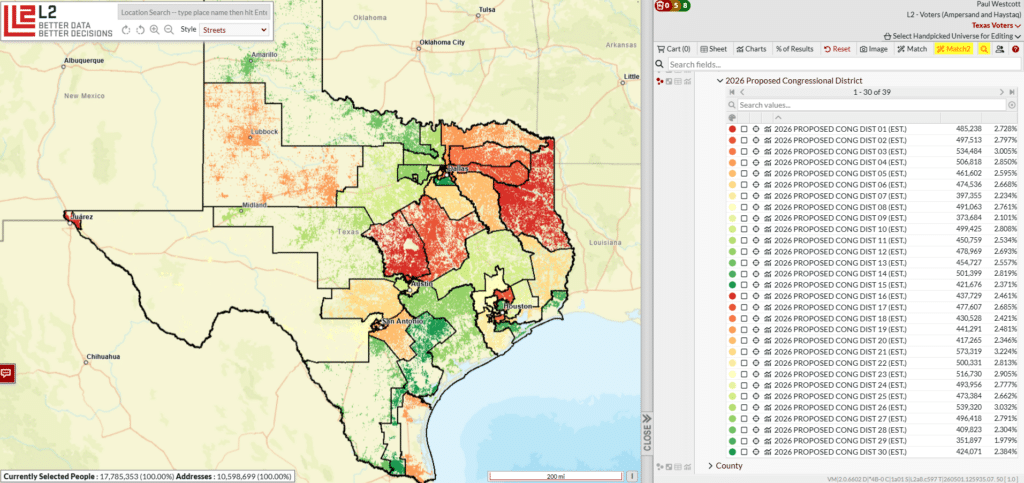
Proposed Districts
As new boundaries emerge and move toward adoption, L2 incorporates official shapefiles to give clients an early, accurate view of voters in proposed districts—available in DataMapping and across our core taxonomy.
Zip-to-District Product
For digital activation and targeting, L2’s Zip-to-District tables provide rolling updates at the ZIP, ZIP+2, and ZIP+4 levels for U.S. Congressional and State Legislative districts, with distinct outputs for proposed and finalized maps.
New Districts
Once finalized, new districts are made available alongside current boundaries across L2 DataMapping, Snowflake, LiveRamp, and the full L2 data ecosystem—ensuring seamless transition and continuity.
Contact us to learn more or explore the latest proposed districts directly in L2 DataMapping.
